Floods and heavy rain ravage central region
VOV.VN - Vietnam's central region is in the process of experiencing the adverse impact of recent deluges, causing localised flooding and drastically increasing the risk of landslides.

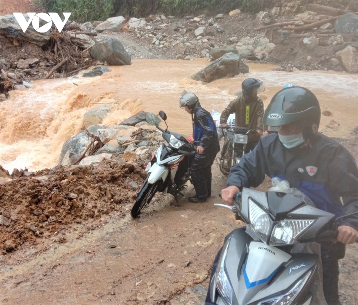
Since November 29 many areas throughout Bac Tra My district in Quang Nam province have been facing torrential rain, most notably causing two bridges across the Truong river and the Nuoc Oa river to be left deep under water. Indeed, National Highway 40B and some communes in Bac Tra My and Nam Tra My district have been cut off as a result of the recent weather.
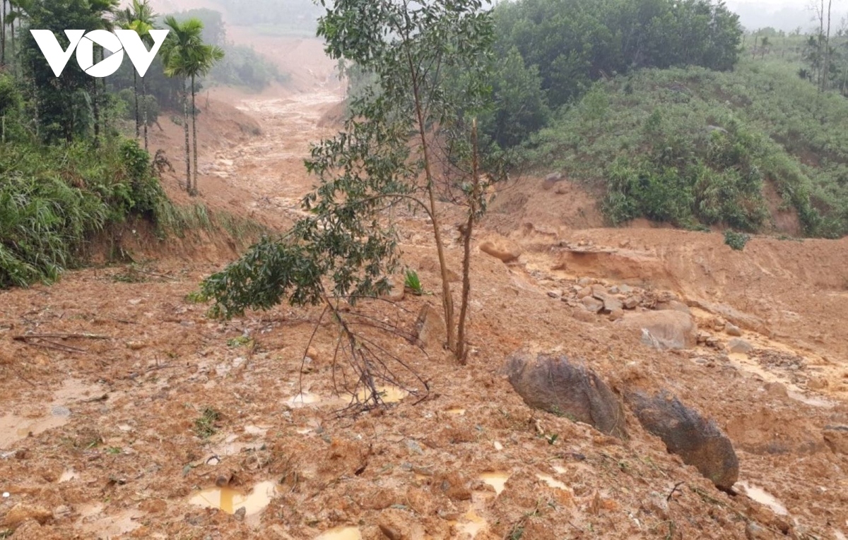
Due to spells of heavy rain over the past few days, the local authorities have decided to stop searching for missing residents following landslides in Tra Leng commune in Nam Tra My district and Phuoc Loc commune in Phuoc Son district.
Furthermore, Quang Ngai province has endured continuous heavy rain over the past few days, leading to landslides occurring in areas containing slopes, riversides, and streams.

Approximately 200 households located in Ngoc Pray Mountain of Ra Pan village in Son Long commune are now considered to be in the danger zone for potential disasters, with local residents being relocated on November 30.
As a means of restricting the damage done to people and property, local authorities swiftly moved people out of the danger zones, especially those living in areas close to rivers and streams.


